

Centimeter-accurate as-built survey app:
Utility documentation
for civil engineering contractors
Hand sketches, unclear positions – and later nobody knows where the utility line is?
With SitePlan every utility line becomes digital as-built documentation:
➔ Centimeter-accurate: Utility survey with smartphone and GNSS antenna
➔ Simple & self-reliant: Documentation incl. photos directly by the construction site team
➔ Hand over immediately: Export data for the client at the push of a button
Over 20,000 projects digitized







1cm
accurately documented
Utility lines and structural elements captured position-exactly – right in the plan or on the map
0%
Surveying stress
Surveying directly via app by the site team – without an external surveying firm
3
Clicks to export
DXF, Shape, CSV or PDF – created in seconds and handed straight to the client
100%
traceable
Every utility line and every structural element recorded – with timestamp, GPS photos and report

Digital as-built survey
Capture the as-built state – e.g. utility routes, manholes or installed objects – centimeter-accurate and digitally, before everything is backfilled again.
With SitePlan the site team documents on its own via smartphone and GNSS antenna – simple, fast and without external surveyors.
All data can be exported in a few clicks and handed straight to the client.
Ideal for as-built documentation, final account and records in civil engineering.
➔ Done with hand sketches and expensive surveys
➔ Centimeter-accurate capture incl. GPS photos
➔ Export documentation digitally – in 3 clicks
Measure points & lines
Document utility routes, manholes or installed objects right on site – with one tap. With a GNSS antenna every capture is cm-accurate
Capture absolute levels
Document utility lines, manholes & structural elements incl. level. GPS heights are transformed automatically into the desired height reference system – without calibration
Custom Layer Structure
Layers and attributes freely definable – e.g. DN, material, bedding or construction method – and easy to select during data capture
Georeferenced GPS photos
Photos can be taken right during documentation – incl. GPS position, timestamp, note and layer
Team Function & Collaboration
Several project members work together in the same project – in the office or on the construction site. Everyone sees the current survey data, photos and comments
Synchronization with Web App
All data is synced in real time. The current documentation is available in the office immediately – no manual data reconciliation needed
PDF survey report in 3 clicks
Report showing the utility lines in map or plan view, incl. lengths, coordinate lists, layer structure and GPS photos
Export for CAD & GIS
Survey data exportable as DXF, CSV or shapefile – all with one click, without post-processing

“Tape measure and hand sketches – but where exactly is the utility line?!”
Friday noon. The trench was backfilled long ago.
The client demands the utility documentation.
But instead of clear as-built data there are only sketches, photos without location reference and memories from the site team.
Where exactly does the utility line run? Where are the couplings, service connections or manholes?
The result: queries, rework in the office and extra appointments.
That costs time, delays acceptance – and strains the cooperation with the client.

Conventional documentation? Patchy & a real problem later on
➔ Hand sketches & photos without position – utility line can’t be found later
➔ No exact position & depth – as-built data incomplete
➔ Documentation only after the fact – details get lost
➔ Queries from the client – because of unclear utility routes
➔ Missing records – risk in case of damage, liability or deductions

Result: No more surprises
Digital as-built survey with SitePlan creates clarity – right on the construction site, without extra office work.
Every installed object documented position-exactly
Utility lines, manholes, couplings & service connections are captured cm-accurate via GNSS – complete and traceable.
Documentation right at installation
The site team captures everything immediately – without hand sketches or later rework.
Audit-proof handover to the client
Export of survey data, GPS photos and reports in a few clicks.
Fewer queries & subsequent claims
Clear as-built data avoids arguments and ambiguities.
For civil engineering contractors & clients:
✔ Digital as-built survey directly from the construction site
✔ Uniform, verifiable as-built data
✔ Relief for site management, surveying & GIS
✔ More certainty for operation and later work
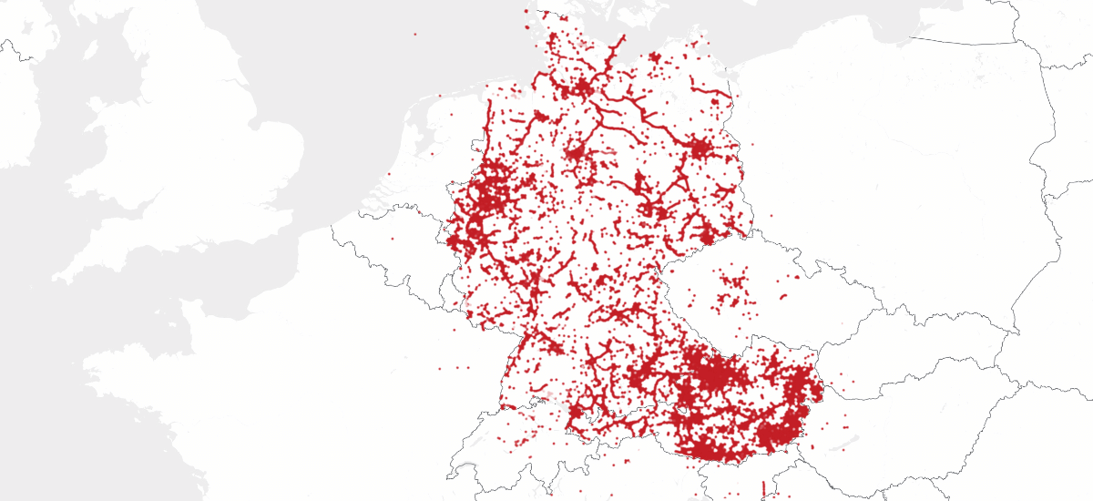
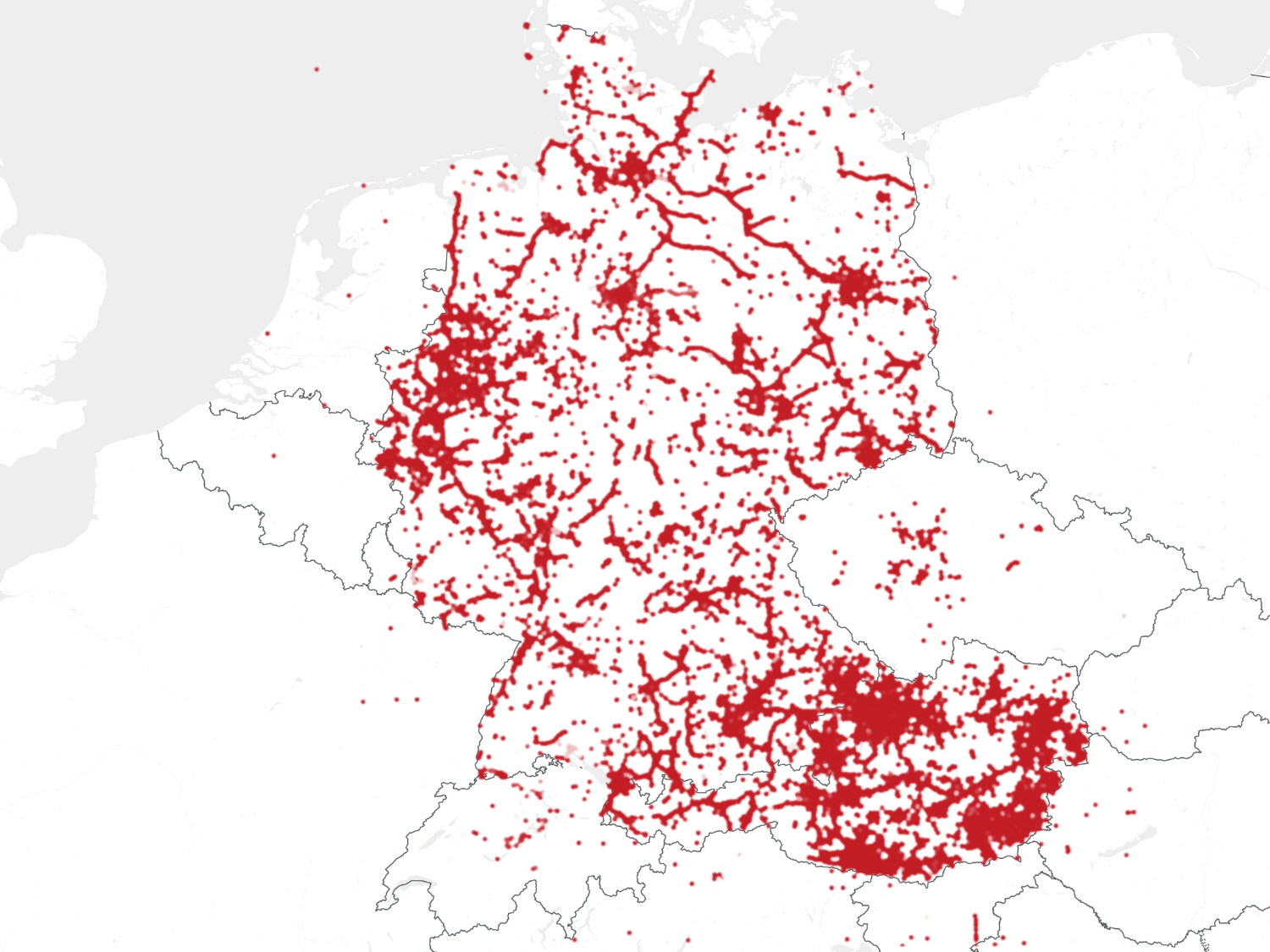
Used throughout Germany and Austria
2,000+ active users | 20,000+ projects | 4 million+ points & photos
> 2,000 active users
> 20,000 projects
> 4 million points/photos
Testimonials
Nicolas – Site manager, PFAFFINGER
Previously, field measurements required several people – today, the foreman handles them alone, and with greater precision.
Digital surveying saves time, reduces errors, and simplifies billing. Ideal for landscaping and civil construction – from photo documentation to staking.
⭐️ ⭐️ ⭐️ ⭐️ ⭐️
Markus Aigner – Site Manager, Hitthaller
The surveying works flawlessly, and the tilt sensor saves a lot of time during measurement and staking.
Very easy to use, with multiple people able to work on the same project simultaneously. With the integration of utility plans, external lines are always available on site.
⭐️ ⭐️ ⭐️ ⭐️ ⭐️
Simon Kling – Site Manager, Pfaffinger Bau
Surveying and staking used to be time-consuming and error-prone,
we used string lines and measured everything manually. Now it's faster and more accurate – everything is digital. Workflows from site to office are smooth. SitePlan saves us real time and has become indispensable.
⭐️ ⭐️ ⭐️ ⭐️ ⭐️
David Mayer – Foreman, Felbermayr Bau
With SitePlan, our site documentation and tracking run like clockwork.
Our foremen can independently document utilities and handle simple staking – no extensive training needed. All photos and data are digitally secured and centrally accessible. As a site manager, I have everything at my fingertips – without being on site.
⭐️ ⭐️ ⭐️ ⭐️ ⭐️
Dominik Schmidtzkonz – Site Manager, Pfaffinger Bau
We already had a GPS system, but it was complicated and not user-friendly.
SitePlan, on the other hand, is easy to use and ideal for our team. The app saves us a lot of time with documentation and is accurate and uncomplicated. I am particularly impressed by the fast and reliable cooperation with the SitePlan team. For construction companies of all sizes, SitePlan is a strong partner that speeds up processes and simplifies documentation.
⭐️ ⭐️ ⭐️ ⭐️ ⭐️
Christian Penker – Managing Director, Infra-Connect
My foreman is thrilled he can stake out everything right away – no waiting!
On one job we had to lay 1,100 m of drainage. SitePlan was essential. The foreman handled all staking and documentation himself. I stay up to date from the office and have a clear billing record.
⭐️ ⭐️ ⭐️ ⭐️ ⭐️
Maximilian Rutar – Site Manager, STRABAG

Get to know SitePlan – hands-on and personal
In just 30 minutes we show you how to document utility lines digitally right on the construction site –
centimeter-accurate, traceable and before everything is backfilled again.
Based on your projects, your workflows – concrete, transparent, and directly applicable.
Free of charge and without obligation.


GDPR compliant & ISO 27001 certified
For the highest security standards
Questions about digital utility documentation
SitePlan is trusted by companies across civil engineering, utility construction, roadworks, and railway infrastructure – from small contractors to large corporations.
Clients include construction firms, engineering offices, and public authorities focused on digitizing their site operations.
We’re happy to share specific references during a meeting or demo.
Yes. SitePlan runs on any Android or iOS device. Without a GNSS antenna, it's ideal for GPS photo documentation. With a GNSS antenna, it becomes a full-featured surveying system.
Pricing depends on your use case.
We offer flexible license models – whether you need software only or a complete package including GNSS antenna, accessories, and correction data.
We’ll walk you through all Options in a short call to find the right fit – clearly and transparently. in a short appointment – tailored to your actual needs.
With a GNSS antenna, you’ll achieve centimeter-level accuracy – perfect for verifiable measurements and billing. Accuracy is shown in real time and automatically documented.
If you already have an antenna, we’re happy to check compatibility with SitePlan.
For a quick and hassle-free setup, we recommend our SitePlan GNSS Complete Kit – including a fully pre-configured antenna, all accessories, and active correction data.
Just turn it on and go – we handle the rest.
Absolutely. SitePlan was built for foremen, site managers, and cost engineers – no surveying degree required. The app is intuitive and ready to use immediately.
Yes. Many foremen use SitePlan independently after just 30 minutes of hands-on onboarding. We provide that training free of charge.
SitePlan is purpose-built for everyday civil site work – easy to use, ready in minutes, and ideal for non-surveyors. No complex workflows or file chaos – just photos, points, lines, and reports in one tool.
Yes. All data (measurements, points, reports, photos) can be exported in formats like DXF, CSV, SHP, or PDF – ready for import into CAD and GIS tools. We also offer an API interface for integration with other systems.
Fully automatic. As soon as a point, area, or line is captured on site, it appears in real time in the office – via the web app, with no USB stick or manual data transfer required.
Yes. Especially on smaller projects, SitePlan saves a significant amount of time – because the measurement is completed directly on site and no office rework is required. Whether it’s a house connection, driveway, or road crossing.
Data security is our top priority. Our infrastructure and processes are ISO 27001-certified, the global standard for information security management.
All project data is encrypted during transmission and storage. Access rights are role-based – so you control who sees and edits what.
Your data is your property – never shared with third parties.
- Free trial (software only):
Test all app features free for 30 days on your own smartphone or tablet.
- Pilot project with full system (including GNSS):
Want to test SitePlan for real-world surveying and staking? We’ll provide a fully equipped rental kit – GNSS antenna, accessories, and correction data included.
Let’s have a quick call to find the best option for your needs – no risk, no obligation.
Expert Knowledge
▫ Measurement with a measuring wheel? – Here’s how it gets easier
▫ Billing instead of reworking: Measurement report in 3 clicks with SitePlan
▫ DXF in real time: From field measurement to CAD in minutes instead of hours
▫ 12 features that save site managers time and stress every day
▫ Measurement and billing: When the measuring wheel becomes a cost trap
