Frequently asked questions about GPS Photodocumentation
09.02.2026
Pfaffinger: From pilot construction site to indispensable solution
20.02.2026

Anyone looking for a GeoAce alternative is usually not looking out of curiosity. The decision is often the result of concrete experience on the construction site.
Looking for a GeoAce alternative?
Many construction companies, municipalities and infrastructure operators are currently dealing with one question:
Does GeoAce still fit in with our daily processes - or do we need an alternative?
The desire for alternatives rarely arises without good reason. In discussions with site managers, foremen and digitization managers, we hear similar points time and again.
Typical reasons why users reorient themselves
- Complexity in everyday life
Although tools are introduced, they are hardly ever used on the construction site. If a system is not understood quickly, it is not used. - Lack of acceptance among polishers
Frequent feedback from the field: „We have - but nobody uses it.“
Without acceptance, even the best technology will not bring any added value. - Restrictions on export & further processing
Measurement data, photos and documentation should be used flexibly - for CAD, invoicing or verification. If this is cumbersome, it costs time and nerves. - Requirements have changed
Many companies today are no longer looking for a special solution for individual projects, but for a simple tool that combines documentation, orientation on the plan and measurement in a meaningful way.
What a good GeoAce alternative should do
Clear requirements arise from practice:
- Easy to operate, also for non-surveyors
- Reliable in daily use
- Open data formats & clean exports
- High acceptance on the construction site
- Short support paths
SitePlan: An alternative with a focus on simplicity
The SitePlan app pursues a deliberately different approach:
As simple as possible.
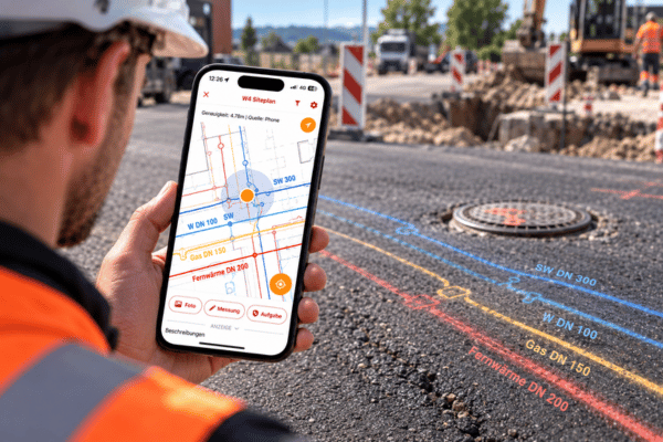
- Intuitive app (similar to Google Maps)
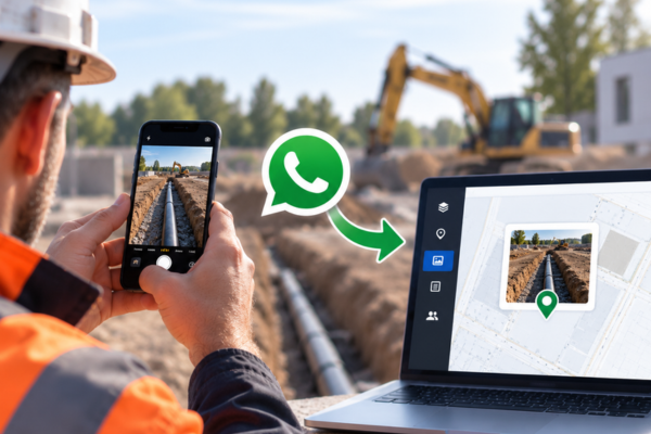
- Photo documentation, plans and tasks in one interface
- Measurement with GNSS, if required
- Automatic reports as well as DXF, CSV and shape exports
- High acceptance among site managers and foremen

Many users describe it like this:
„Finally a system that is really used outside.“
Conclusion
Anyone looking for a GeoAce alternative today is generally not looking for „fewer“ functions - but rather More usability in everyday life.
SitePlan covers all central use cases of Photo documentation, stakeout, measurement, export and report generation in a system that site managers and foremen actually use.
More about SitePlan functions: